The NEON Tracking Unit supports collection and processing of sensor data that delivers 3D location information. The NEON Signal Mapper Application provides an intuitive Android user interface enabling lightly trained users to map signal and sensor information within buildings; users can initialize their location, start/stop mapping and upload/download mapping data to/from the cloud. The NEON Command Software enables creation and visualization of 3D building maps and provides centralized access to the NEON Cloud Service to access stored maps and measurement data.
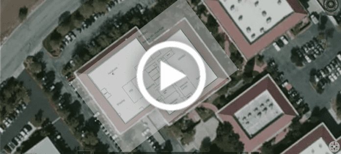
This video will give the viewer step by step instructions for generating 3D Building Maps with floorplans for use with the MA8100A Neon Signal Mapper.

