Learn from Anrtisu how coverage mapping can lead to better quality of service while reducing costs
A host of manmade and natural obstacles, from wind turbines and mountains to concrete walls and tree foliage, have the potential to obstruct RF signals and disrupt the quality and reliability of cellular communications. For wireless providers supplying connectivity for consumers, enterprises and mission critical users, like first responders, coverage mapping can provide the data needed to optimize network performance and reduce costs.
Test and measurement field technicians use coverage mapping tools to determine the signal strength in a particular region, indoor or outdoor, including the effects due to the terrain, weather and buildings, among other variables. This information is not only used to determine quality of service in a region, but also to correlate with propagation modeling tools to better plan for communication system deployment.
The importance of coverage mapping is evident and can be illustrated in the growing investment by building owners, neutral host providers and enterprises directly. In-building coverage is quickly becoming regarded as the fourth utility–it’s as important to a business or government, for instance, as access to power, lighting, and water. Moreover, there’s a deeper relationship between in-building wireless systems and public safety. Police and firefighters need to be able to locate a caller and communicate with each other whether they’re near a window or deep in a subbasement.
Measurement of a radio site’s received signal strength, termed the received signal strength indicator (RSSI), is a stepping stone in ascertaining coverage. Anritsu offers a range of spectrum analyzers that can accurately measure RF power over a wide range of frequencies and power levels. One way Anritsu approaches coverage mapping for RF transmitters is by plotting RSSI and adjacent channel power ratio (ACPR) measurements onto a digital map.
Outdoor mapping requires a GPS reference while indoor mapping utilizes a suite of sensors combined with ranging and dynamic mapping algorithms. . For indoor coverage mapping, Anritsu joined forces with TRX System to develop the Anritsu MA8100A TRX NEON Signal Mapper. The software can be used on various Anritsu Handheld instruments, including LMR Master, Spectrum Master, Site Master, BTS/Cell Master and VNA Master. The application takes RF measurements from an instrument and merges them with the location information of a tracker to generate a 3D map. Moreover, the map can be stored on an android device or directly to the cloud.
Subscribe now to get the daily newsletter from RCR Wireless News
For outdoor mapping, Anritsu provides the easyMap software tool to enable users to create instrument compatible maps from sources such as Google Maps and MapQuest. The translation allows map panning and zooming, up to seven levels, on the instrument.. Furthermore, users can dictate the threshold values and measurement settings. Every measurement is assigned a color that corresponds to the threshold values. This feature is customizable to ensure fast results as a function of process automation.
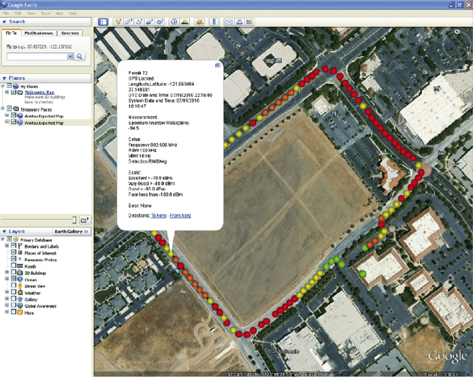
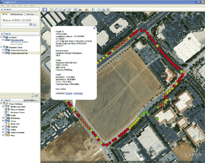
When completed, the data collected can be stored in a KML or tab delimited file. With outdoor mapping, a KML file can be viewed using a downloadable program like Google Earth. The colored points are positioned in accordance with the GPS location. Each colored point can be accessed to note the recorded values. Data values with or without a GPS can be accessed on a datasheet viewer like Excel, which groups the information into columns for easy review.
 Figure 1. Example KML file depicting the results from a coverage mapping measurement.
This level of software-based automation, preconfiguration and ease-of-use means field technicians spend less time transferring data, or adjusting instruments, and focus on the task at hand. Less time in the field, coupled with higher quality results, allows for crews to do better work more quickly, saving time and money, and ensuring the success of wireless deployments.
Coverage mapping plays a pivotal role in ensuring police, fire and other public safety officials, as well as enterprise and industrial stakeholders, stay connected and keep their businesses running smoothly. Click here to learn how Anritsu’s applications can help users save time and money by providing reliable data about the kind of coverage they can expect regardless of location.

