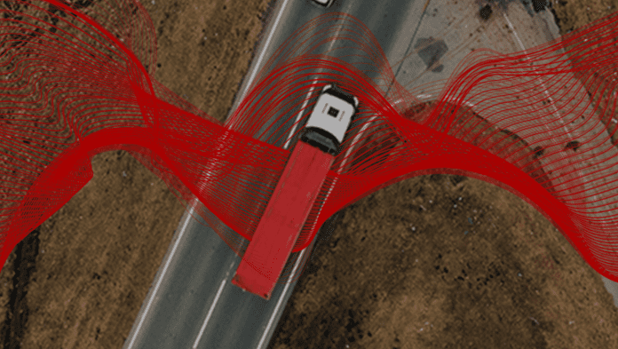
Vodafone is launching a higher-accuracy GNSS-based positioning technology for enterprises to remotely track vehicles, machines, and devices to within 10 centimetres, compared to around three metres with standard satellite systems. It is using an assisted GNSS system, which introduces various correction techniques and analytics, from Germany-based positioning company Sapcorda. “We might not be able to locate a needle in a haystack yet, but we are getting close,” Vodafone said.
Vodafone is pitching the service, initially, for automated guided vehicles (AGVs) and unmanned aerial vehicles (UAVs) on industrial sites and, increasingly, in the case of drones, for medical deliveries. High accuracy outdoor positioning is useful, also, for conventional asset tracking, it noted. Semi-automated vehicles are another use case, it said; fully autonomous cars, trucks, and buses present a future scenario, as well.
Sapcorda was originally a joint venture between Bosch, Mitsubishi, Geo++, and u-blox, established to develop high-precision outdoor GNSS correction technology for device manufacturers and system integrators. Vodafone is using its ‘precise point positioning’ – ‘real-time kinematics’ (PPP-RTK) method with ground level GNSS stations to achieve the best error correction. It complements positioning services enabled by its indoor 5G and IoT systems, it said.
The technique uses ground-based analytics to correct satellite signals for things like the curvature of the earth, atmospheric delays, and clock differences of global positioning satellites. Vodafone has tested the technology to track the lane position of vehicles during a “combined journey of over 100 kilometres in varying weather conditions”. Sapcorda provided the data feed, for the GNSS signal to be corrected.
Vodafone is offering the service with its ‘telco-as-a-service’ (TaaS) model. It commented: “By identifying key network capabilities, and making them available through common APIs in a cloud platform, Vodafone is delivering new software, video and data applications at scale, in addition to gigabit-capable connectivity.” Vodafone said its IoT platform manages 118 million connections, globally. It is offering asset tracking and fleet telematics in 54 countries.
It said in a statement: “Pinpoint accuracy is critical to the acceptance and mass adoption of autonomous vehicles not just on the road but in factories, airports, dockyards and any site where machines are in motion… Large enterprises will benefit hugely… They will be better able to locate critical assets, align machines such as driverless trains at platforms, and let farmers, airports, and fleet operators know the whereabouts of autonomous vehicles,.”
Justin Shields, solutions director for business platforms at Vodafone, commented: “What we can do now is take new digital services like this one, integrate it with our global IoT platform and fast networks, and offer it securely at scale to many millions of customers. Our in-building 5G and IoT services already allow manufacturing plants, research laboratories, and factories to carry out critical, and often hazardous, precision work with robots. Now we are applying the same levels of accuracy to the outdoor world.”

