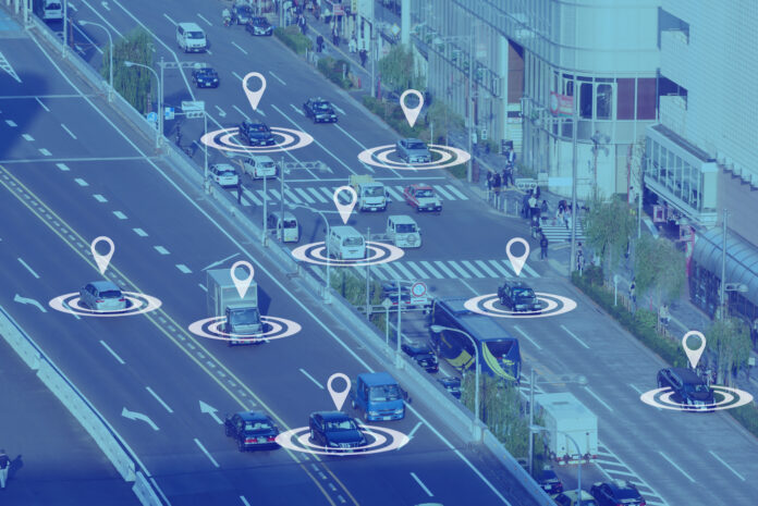
Advanced sensing and positioning capabilities in 5G-A and 6G may allow operators to sell data on the ‘position of things’
Integrated Sensing and Communications (ISAC), a study item in 3GPP Release 18 and a priority in Release 19, refers to the integration of sensing and spatial location of passive objects into the mobile communication network. In the words of Ericsson, it “bridges the physical and digital worlds” by combining the power of AI, communication, positioning, and sensing capabilities.
More broadly, Release 18, or 5G-Advanced, introduces enhanced and consistent positioning with sub-10cm accuracy, as well as cellular-based positioning including the identification of non-line-of-sight paths and centimeter-level accuracy, for both indoors and outdoors scenarios. “This transformative evolution in network capabilities, seamlessly integrating communication and sensing, holds the potential to revolutionize various applications, from utilizing the cellular network for advanced traffic monitoring of vehicles and pedestrians to generating digital twins of physical areas,” Ericsson stated.
For the Head of GSMA Intelligence Peter Jarich, enhanced sensing and positioning won’t just lead to application innovation, but he sees it as having the potential to create new telco business models. “We think about RedCap — it’s exciting because it could make IoT more scalable at a lower price point. But it is essentially taking an existing business model and extending it; when we think of satellites, it’s more connectivity — connectivity in new places, connectivity in mission-critical applications, but still just more connectivity. Sensing, I think, is interesting because it can open up entirely new business models,” said Jarich.
He outlined one potential business model in which an operator can sell data on the position of things. “Not necessarily knowing who or what they are. We’re not talking about breaking some privacy rules where you’re tracking someone’s [specific] device, but more of where devices or things are,” he said. You could, for example, stop a large ship that’s unknowingly barreling towards a bridge or keep track of drones and other flying devices and vehicles in the sky.
Think something like BT Active Intelligence location insights, a business the telco launched last March, where it sells “hyper-local human mobility data” through a cloud-native spatial data catalog. As Jarich described, the data doesn’t include personal information, just information about what it calls “footfall.” So, that’s footfall type (domestic, international, worker, resident, etc.), time period (weekend, weekday, morning peak, evening peak, etc.) and demographics (age group and gender). It’s clear how this sort of information would be valuable to all sorts of businesses that are interested in the traffic flow of people. An obvious one might be marketing — where and when should advertisements be placed to maximize views.
“Selling that data is interesting, not just on a technical level, but on a business level for operators,” Jarich summarized.

